Field measurement strategies are defined depending on the nature of the site and the scope of the characterization. The measurements can be carried out in either static or dynamic mode. In static mode, the radioactivity is measured at discrete points, whereas in dynamic mode, the instrument is moved during measurement, and the measurement results reflect the average of the traversed area during an a-priori defined integration time. The measurement results are synchronized with the GPS coordinates and stored in the instrument memory.
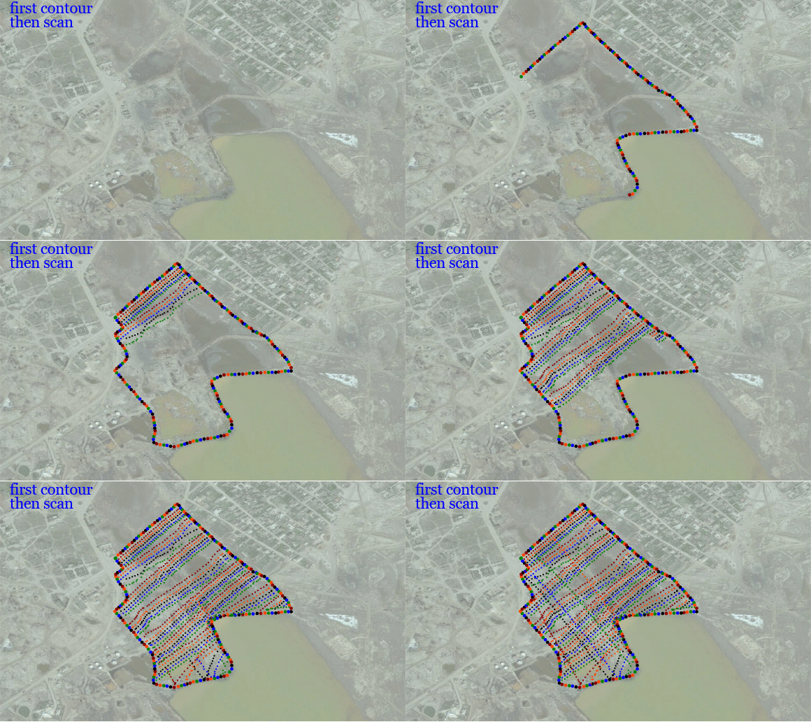
Surface measurements over different size areas can be performed by walking, by car borne surveys or UAV-based measurements. Radiological mapping provides global information on the radiation situation across the area of interest, either for the purposes of environmental monitoring, monitoring of contamination after radiation accidents or as part of remediation activities.
